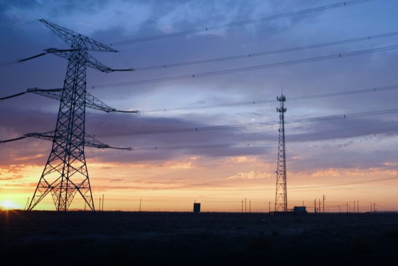
Drones enhance safety and efficiency in power sectors by enabling risk-free inspections, real-time data, and cost reduction.

Drones are revolutionizing emergency response. They provide real-time footage, deliver supplies, and assist in search and rescue operations, enhancing efficiency and safety.

Drones in environmental protection aid in wildlife monitoring, pollution detection, and forest conservation efficiently.
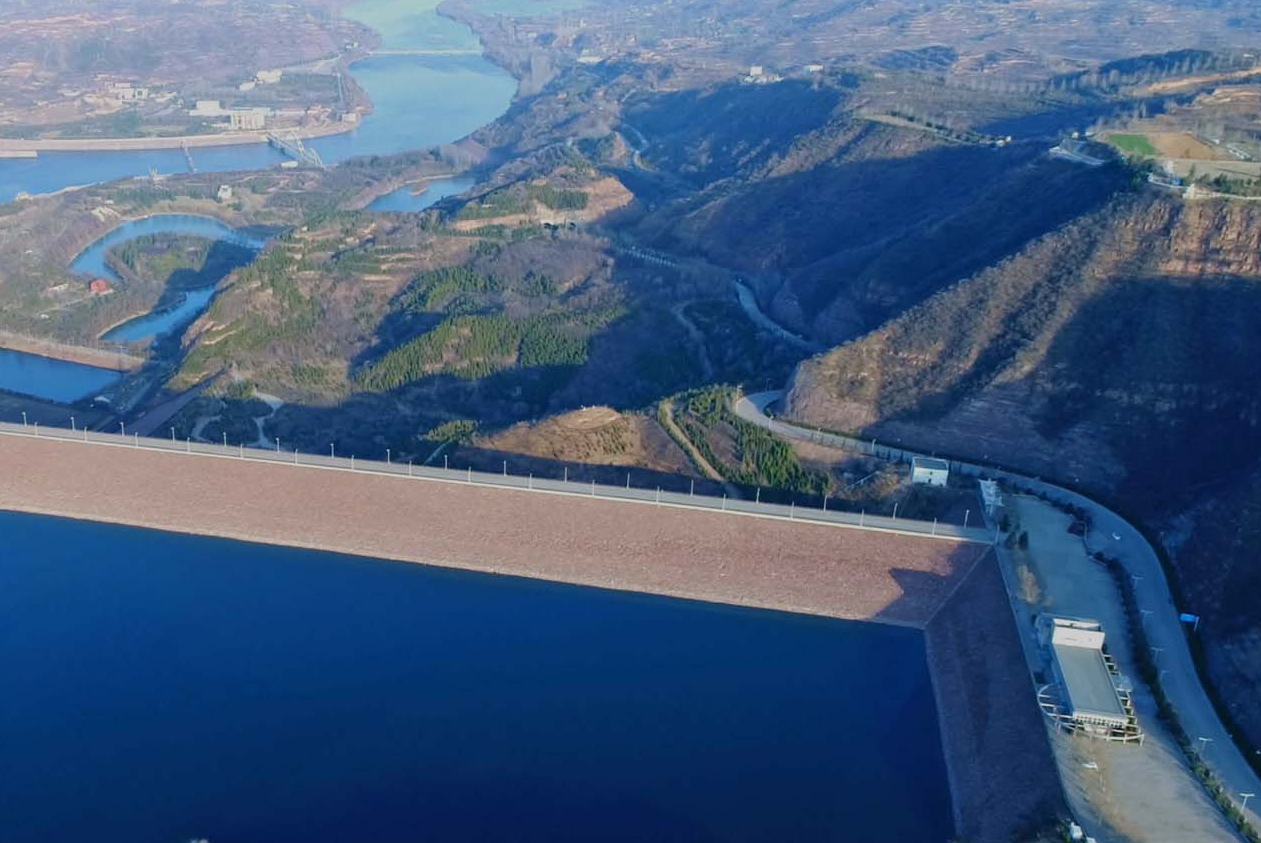
Drones provide real-time data, reduce risks, improve efficiency, and lower costs in hydraulic engineering.
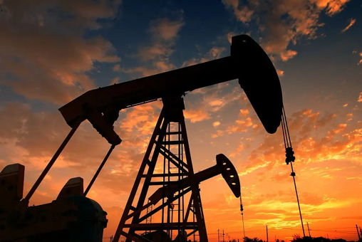
Drones in oil & gas industry enhance safety, improve efficiency, and reduce costs by conducting inspections and surveillance.

Drones in renewable energy streamline inspections, improve safety, reduce costs and enhance data accuracy.

Drones in agriculture boost efficiency, reduce labor intensity, enable precision farming, lower costs, and support eco-friendly practices

Drones provide real-time, wide-area surveillance, reaching inaccessible areas, aiding in rapid, effective security responses.

Drones in construction boost efficiency, safety, precision, real-time monitoring, eco-friendliness, and cost-saving.

Drones in mining enhance efficiency, cut costs, and improve safety and sustainability, providing real-time data for smarter decisions and reducing manpower risks.
